Client: Partners for Water PfW/RVO, The Netherlands
Partners: –
Period: 2014
Objective: Terms of Reference for project call of PfW/RVO on the subject
Summary
PfW/RVO – The Netherlands wants to generate projects on water management in Vietnam, using remote sensing information. Integration of these data sources with ground-based measurements and computer modelling should lead to a reliable instrument for strategic and operational water and reservoir management.
FAO (May, 2014): ‘Water-Energy-Food Nexus trade-offs in the Red River Basin in Vietnam. A series of reservoirs in the upstream reaches of the Red River in northern Vietnam regulate flows and supply much of the electricity needed for Vietnam’s modernization and industrialization strategies. The same system is the sole water source for domestic uses and irrigation of almost 750,000 ha of rice-based farming in the Red River delta, which is critical to social stability and food security in Vietnam. Most of the irrigation systems in the delta use pumps, with electricity supplied by the reservoirs, to distribute water to the fields and other users within the irrigation systems. As water becomes scarce, and competition is growing between the energy and agricultural sectors, there is still a lack of reliable data and information to guide water allocation choices, and the absence of cross-sectoral consultation mechanisms prevents the development of concerted efforts to address this problem. Decisions on water release and allocation remain mostly ad-hoc rather than having an integrated, long-term strategy.’
A Terms of Reference (ToR) has been compiled as a basis for a project call. The ToR focuses on construction of a hydrological and hydraulic model for operational use in Vietnam. Attention should be paid to data-acquisition like areal maps and time series, rainfall-runoff processes, and reservoir management. In the end, the instrument to be developed should be part of a decision support system for the Vietnamese government and other end-users.
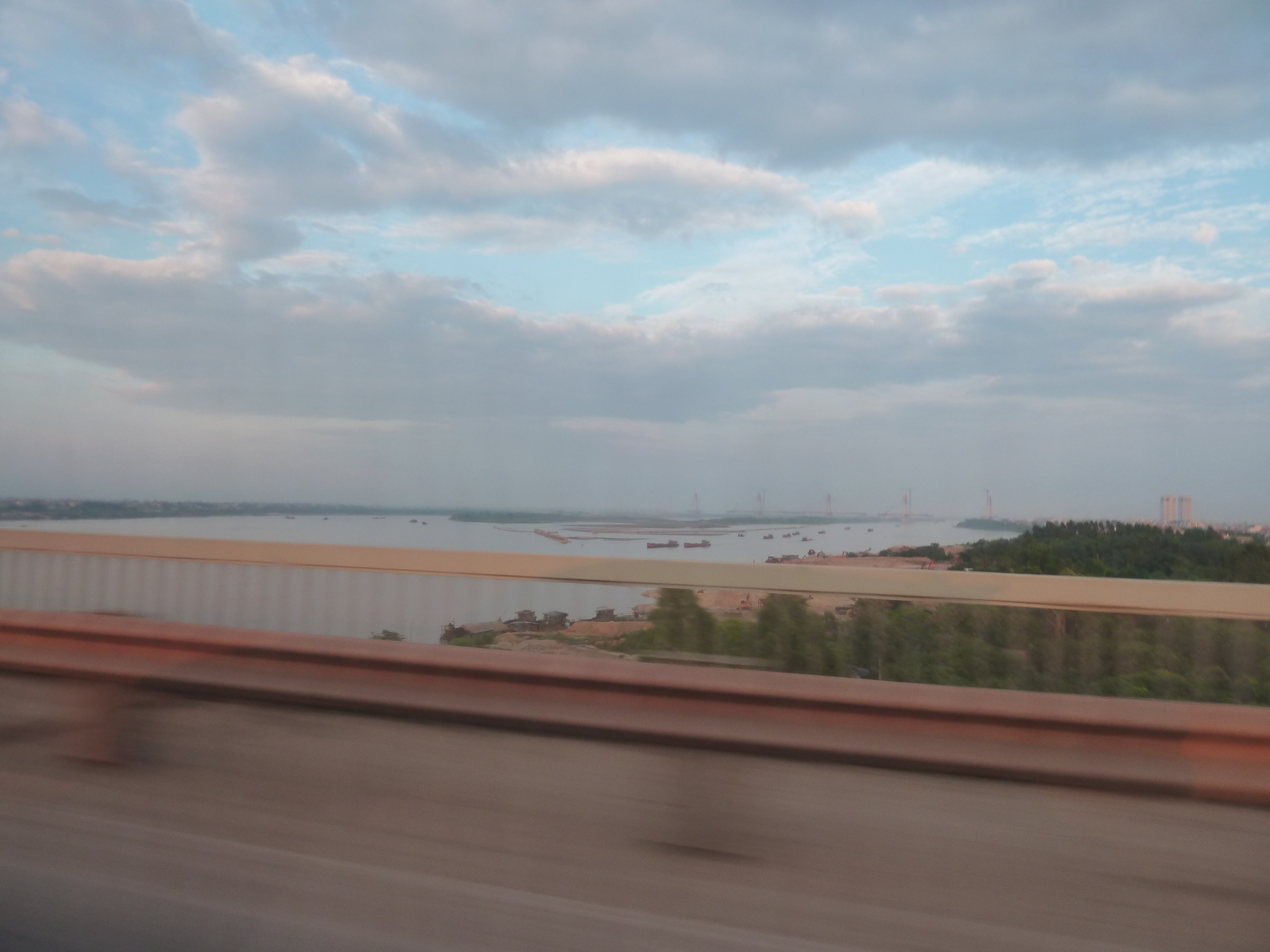
Red River basin.
Countries: China, Vietnam
Source: location at Hengduan Mountains, Weishan, Dali, Yunnan, China, elevation 1,776m
Length: 1,149 km
Basin: 143,700 km2
Discharge at mouth:
Average 2,640 m3/s
Max 30,000 m3/s
Min 700 m3/s